出现在书名中的结果
共 1 条

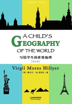
写给学生的世界地理: A CHILD’S GEOGRAPHY OF THE WORLD(英文版)
1人今日阅读
美国卡尔佛特学校前校长维吉尔·M·希利尔专为学生编写的一套系统教材。这本地理教材不同于一般课本的地方在于,以孩子将来真的会进行环球旅行为前提。这个与众不同的前提,使其在内容选取上不以“气候和商业”等为讲述的重点,而是另辟蹊径,让学习者仿佛在跟随一位知识渊博的旅行家,去见识每一个国家或城市中最有趣的事物。这样一来,“他们今后的旅行就不至于一无所获,像那种头脑简单的水手一样:环游世界一圈回来,除了一只鹦鹉和一串玻璃珠子,什么收获都没有”。《写给学生的世界地理》为精校英文版,同时提供配套英文朗读免费下载。在品读精彩故事的同时,亦能提升英语阅读水平,下载方式详见图书封底博客链接。
1
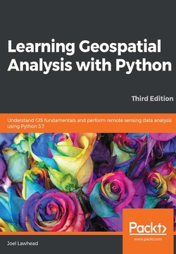
Learning Geospatial Analysis with Python
Geospatial analysis is used in almost every domain you can think of, including defense, farming, and even medicine. With this systematic guide, you'll get started with geographic information system (GIS) and remote sensing analysis using the latest features in Python.This book will take you through GIS techniques, geodatabases, geospatial raster data, and much more using the latest built-in tools and libraries in Python 3.7. You'll learn everything you need to know about using software packages or APIs and generic algorithms that can be used for different situations. Furthermore, you'll learn how to apply simple Python GIS geospatial processes to a variety of problems, and work with remote sensing data.By the end of the book, you'll be able to build a generic corporate system, which can be implemented in any organization to manage customer support requests and field support personnel.